|
|
|||
|
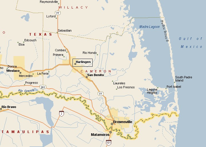
HARLINGEN AREA MAP |
|||
|
Harlingen has an extensive park system with 25 park locations, with playgrounds, nature trails, gardens, swimming pools, picnic shelters. Joggers, walkers and bikers can enjoy the Hike & Bike Trail that connects several parks along Arroyo Colorado. The last time anyone counted, officially, Harlingen had a population of 57,564. Harlingen's location at the intersection of U.S. Highways 77 and 83 in northwestern Cameron County helped make Harlingen a shipping, distribution and industrial center. |
|
||
|
|
|||
|
The Free Trade Bridge at Los Indios is 10 miles south of Harlingen. Up to 75 trucks can be inspected by U.S. Customs at the same time, making this state of the art international bridge the most time-efficient crossing in the Rio Grande Valley. Harlingen has the look of a tropical place, with red parrots in palm trees and bougainvilleas, surrounded by aloe vera farms and citrus groves. |
|||
|
|
|||
|
|||
|
|
|||
|
Visit
our Eyes on Texas Blog to make a comment or share info about Harlingen |
|||
|
|
|||
|
|
|||
| HOME TEXAS TOWNS PARADES | |||
|
|
|||
| BIG BEND COUNTRY | |||
| GULF COAST PINEY WOODS | |||
| PRAIRIE & LAKES HILL COUNTRY | |||
| SOUTH TEXAS PLAINS | |||
| PANHANDLE PLAINS | |||
|
|
|||
| Deer Park Galveston Harlingen | |||
| Houston Kemah Kingsville Matagorda | |||