|
|
|||
|
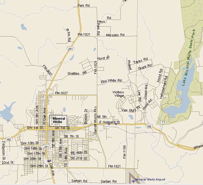
MINERAL WELLS MAP |
|||
|
Mineral Wells is located mostly in Palo Pinto County, with a small portion in Parker County. The population of Mineral Wells, at last count was 16,946. The Palo Pinto Mountains make for a very scenic setting for Mineral Wells. Texas State Highway 180 is the road you take to
Mineral Wells from the east of west. Highway 281 is the road from the
north and south. The Brazos River flows near Mineral Wells, a short distance to the west, on its way to Brazosport on the Texas Gulf Coast. |
|
||
|
|||
|
|
|||
|
|||
|
|
|||
|
Visit
our Eyes on Texas Blog to make a comment or share info about Mineral Wells |
|||
|
|
|||
|
|
|||
| HOME TEXAS TOWNS PARADES | |||
|
|
|||
| BIG BEND COUNTRY | |||
| GULF COAST PINEY WOODS | |||
| PRAIRIE & LAKES HILL COUNTRY | |||
| SOUTH TEXAS PLAINS | |||
| PANHANDLE PLAINS | |||
|
|
|||
| Abilene Amarillo Archer City | |||
| Mineral Wells Sweetwater | |||
