|
|
|||
|
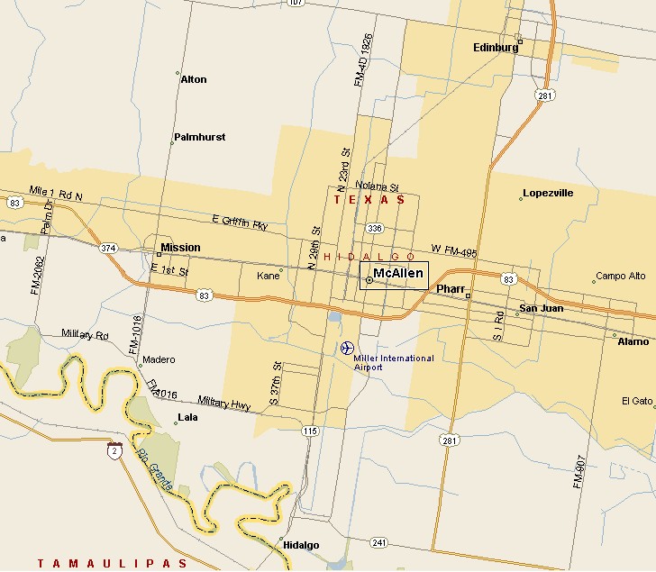
McALLEN TEXAS MAP |
|||
|
McAllen, Texas is the largest city in Hidalgo County. McAllen is in the south of Texas, in the Rio Grande Valley about 70 miles west of South Padre Island and the Gulf of Mexico. Because
of all the tropical vegetation, McAllen is known as the City of Palms. McAllen-Miller International Airport is the Rio Grande Valley's busiest. |
< |
||
|
|||
|
|
|||
|
|||
|
|
|||
|
Visit our Eyes on Texas Blog
to make a comment or share info about McAllen |
|||
|
|
|||
|
|
|||
| HOME TEXAS TOWNS PARADES | |||
|
|
|||
| BIG BEND COUNTRY | |||
| GULF COAST PINEY WOODS | |||
| PRAIRIE & LAKES HILL COUNTRY | |||
| SOUTH TEXAS PLAINS | |||
| PANHANDLE PLAINS | |||
|
|
|||
| San Antonio McAllen | |||
| Laredo Eagle Pass Poteet | |||
