If you’ve only hiked in Central or West Texas, you might be surprised to learn that East Texas is hiding some of the state’s most immersive trails—quiet, long, and often completely overlooked.
Sure, there’s no canyon grandeur or limestone cliffs out here, but what you do get is something else entirely: dense pine forests that stretch forever, creeks that wind gently through mossy undergrowth, and trails so peaceful, you’ll wonder why they’re not more famous.
Thing is, East Texas trails don’t usually show up on your favorite hiking apps. They aren’t backed by big marketing campaigns or flashy state park guides.
Most are buried deep in national forests, where signage is minimal and solitude comes easy. Let’s get into a few trails that locals swear by—and why they’re absolutely worth the trip.
A Quick Look
| Trail Name | Location | Length (miles) | Difficulty | Camping Allowed | Best Seasons |
|---|---|---|---|---|---|
| Four C Trail | Davy Crockett National Forest | 20.1 | Intermediate | Yes | Spring, Fall |
| Trail Between the Lakes | Sabine National Forest | 28.0 | Challenging | Yes | Spring, Fall |
| Turkey Creek Trail | Big Thicket National Preserve | 15.0 | Easy to Moderate | Yes | Spring, Fall |
| Pitcher Plant Trail | Big Thicket National Preserve | 1.0 | Easy | No | Spring, Fall |
Why You Haven’t Heard of These Trails
Even seasoned hikers can miss out on East Texas trails for a few reasons:
- They’re managed by the USDA Forest Service, not Texas Parks and Wildlife. That means less visibility, fewer amenities, and basically zero advertising.
- They’re remote. You won’t stumble onto these after brunch in Austin or a quick drive from Dallas. You’ve got to want them.
- They’re long. We’re talking 20+ miles, often point-to-point, with no snack bar or restrooms halfway through.
- Signage is sparse. A few white blazes here and there. Maybe a wooden marker. Nothing flashy.
And that’s kind of the beauty of it. Also, if on road trip, check smaller and less known cities in Texas.
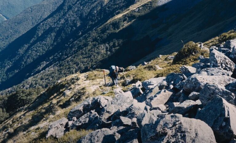
Four C Trail – Davy Crockett National Forest
- Location: Near Alto, Texas
- Length: 20.1 miles (point-to-point)
- Trailheads: Neches Bluff Overlook & Ratcliff Lake Recreation Area
- Elevation Gain: ~950 feet
- Estimated Time: 6–7 hours (day hike), 2–3 days (backpacking)
- Difficulty: Intermediate
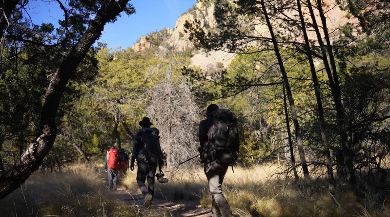
This trail doesn’t just take you through the woods—it takes you back in time. Named after the Central Coal and Coke Company, which logged this area in the early 1900s, the Four C Trail follows old tramways deep into Davy Crockett National Forest.
You’ll move through dense pine groves, catch glimpses of hardwoods twisting skyward, and pass through the Big Slough Wilderness—an untouched 3,000-acre area that feels like it belongs in a nature documentary.
Along the way, you’ll spot wildlife, cross small creeks on sturdy footbridges, and maybe, just maybe, hike an entire day without seeing another person.
What You’ll See
- Flora: Towering loblolly and shortleaf pines, big oaks, and bright purple beautyberries in season
- Fauna: White-tailed deer, red-cockaded woodpeckers, squirrels, and songbirds galore
Where to Camp
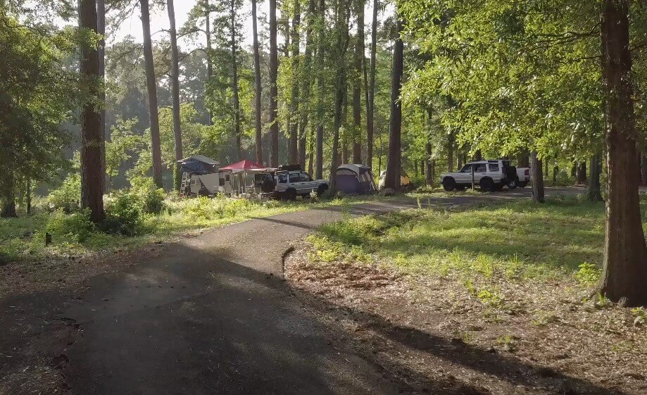
At about mile 9, you’ll hit the Walnut Creek shelter—a basic open-air structure with tent pads and a fire ring. Great for overnight hikers.
Beyond that, dispersed camping is allowed throughout most of the forest (just double-check seasonal hunting restrictions).
Trail Challenges
- Water: There’s no potable water, and creek water isn’t reliable for filtering. Most hikers cache water at road crossings or carry everything from the start.
- Navigation: Marked with white rectangles, but bring an offline map or GPS. Don’t count on cell service.
- Bugs: Ticks and chiggers love this area. Use repellent and wear long layers.
When to Go
- Spring: Wildflowers are everywhere, temps are mild
- Fall: Gorgeous foliage, way fewer bugs
- Avoid summer unless you love humidity and swatting at mosquitoes
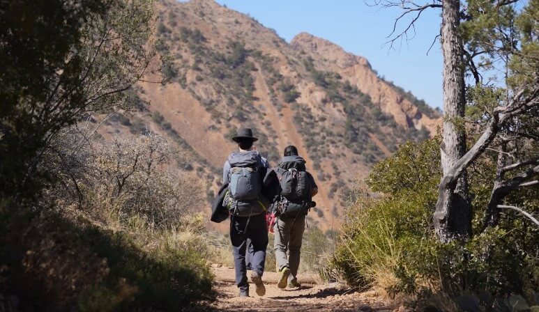
Trail Between the Lakes – Sabine National Forest
- Location: Near Hemphill, TX – between Toledo Bend & Sam Rayburn Reservoirs
- Length: 28 miles (point-to-point)
- Trailheads: Lakeview Recreation Area & US Highway 96
- Elevation Gain: Minimal (gentle rolling hills)
- Estimated Time: 9–10 hours (long day hike), 2–4 days (backpacking)
- Difficulty: Challenging
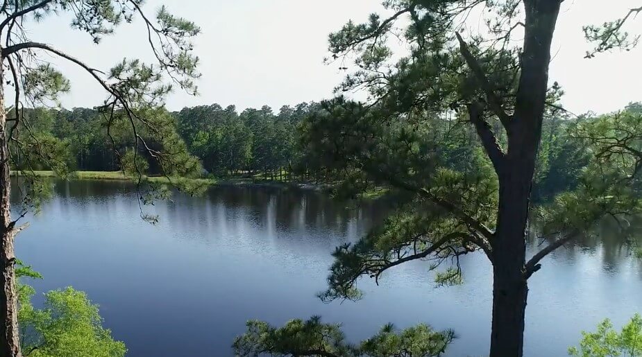
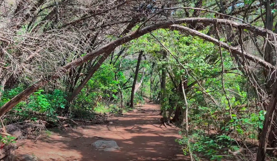
The name says it all: this trail connects two massive lakes. But in between? You’re in the woods—completely immersed in the calm, humid silence of Sabine National Forest.
Built back in the ‘80s by the Sierra Club and USDA Forest Service, it runs through pine savannahs, hardwood flats, and the kind of shady beech-magnolia canyons that make you slow down and just listen.
Sections of the trail are overgrown, which only adds to the adventure. Bring a hiking pole to sweep away spiderwebs, and be ready for some real solitude.
What You’ll See
- Flora: Beech trees, longleaf pines, magnolias, grassy undergrowth
- Fauna: Bald eagles, woodpeckers, deer, and a symphony of frogs near the water
Where to Camp
- Primitive camping is allowed throughout the trail
- Lakeview Recreation Area has an established campground with restrooms and water
- Avoid Moore Plantation Wildlife Management Area during deer season—it has strict camping restrictions
Trail Challenges
- Overgrowth: Some sections are wild and need extra attention. Don’t wear shorts.
- Water: Again, no potable sources. Cache or carry it.
- Trail Markers: Pink flags and blazes help, but they’re spaced out. Stay alert.
When to Go
- Spring: Best birdwatching, wildflowers in bloom
- Fall: Cooler temps, golden forests, fewer bugs
Honorable Mentions
If you’re looking for something shorter—but still off the beaten path—head south to Big Thicket National Preserve. It’s not exactly “hidden,” but two specific trails often fly under the radar.
Turkey Creek Trail
- Location: Near Warren, TX
- Length: 15 miles (breaks into sections)
- Difficulty: Easy to Moderate
This one follows a quiet stream through forested bottomlands. Super peaceful, with plenty of bird activity. Great for those easing into longer hikes without going full Four C mode.
Pitcher Plant Trail
- Location: Big Thicket, Turkey Creek Unit
- Length: 1-mile loop
- Difficulty: Easy
Tiny trail, big wow factor. A boardwalk leads you through a bog filled with carnivorous plants—pitcher plants, sundews, and butterworts. Cool, weird, and great for kids or a quick nature stroll.
Planning Tips for East Texas Hikes
These aren’t quick-hit trails. You’ve got to go in prepared. Here’s what helps:
Timing
| Season | Pros | Cons |
| Spring | Wildflowers, mild temps | Rain can make trails muddy |
| Summer | Long days | Heat, humidity, bugs |
| Fall | Best overall—cool, colorful, dry | Hunting season begins |
| Winter | Fewer people, no bugs | Wet, can get cold |
Essentials
- Water: At least 2–3 liters per person, per day. More if it’s hot.
- Offline Maps/GPS: No service in most forest areas. AllTrails or Hiking Project downloads help.
- Insect Repellent: Ticks and chiggers are relentless. Treat clothing and gear.
- Leave No Trace: Pack out everything. Trails are remote and fragile.
- Tell Someone: Let a friend or family member know your route and timeline.
Why Hike East Texas?
View this post on Instagram
Honestly, because it’s not Instagram-famous. You won’t run into crowds, and you’ll experience landscapes that feel truly wild—no curated overlooks or paved paths here.
Just real Texas forest, preserved and quiet. What you get:
- Ecosystem Variety: From pine groves to swampy bayous, often in a single hike
- Backcountry Feels: You can go hours without hearing anything but your own footsteps
- Low Cost, High Reward: Most trailheads are free or have a very small day-use fee
And maybe best of all—no parking wars, no trail traffic jams, no waiting for influencers to finish a selfie shoot.
Wrapping It Up
If you’re looking to really get out there and explore some of the most peaceful, overlooked hiking spots in Texas, start with the Four C Trail and the Trail Between the Lakes.
They’re long, wild, and require some planning—but they deliver big in terms of scenery and solitude.
And if you’ve only got a day or two, Turkey Creek and Pitcher Plant Trail offer shorter, no-less-beautiful alternatives in the Big Thicket.
East Texas doesn’t beg for your attention—it just quietly waits. Pack smart, hike safe, and let the pines do the talking.