|
|
|||
|
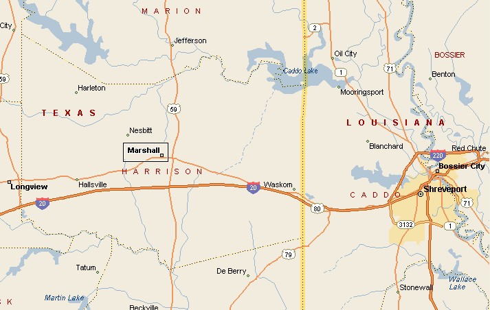
MARSHALL AREA MAP |
|||
|
Marshall is in Harrison County in Northeastern Texas. The 2000 census population of Marshall was 23,935. Marshall serves as a cultural and education center extending into Louisiana and Arkansas. Marshall was first settled in 1839, becoming the county seat of Harrison County in 1842. In 1861, when Texas decided to leave the American Union for awhile, Marshall was one of the biggest and wealthiest towns in Texas, producing clothing, harnesses, saddles, gun powder and ammunition for the Confederacy. After the falling of Vicksburg, Marshall became the seat of civil Confederate authority west of the Mississippi River. |
|
||
|
|
|||
|
Annual events in Marshall include Stagecoach Days in
May, the Fireant Festival in October and the Wonderland of Lights from
Thanksgiving through New Year's Day. |
|||
|
|
|||
|
|||
|
|
|||
|
Visit
our Eyes on Texas Blog to make a comment or share info about Marshall |
|||
|
|
|||
|
|
|||
| HOME TEXAS TOWNS PARADES | |||
|
|
|||
| BIG BEND COUNTRY | |||
| GULF COAST PINEY WOODS | |||
| PRAIRIE & LAKES HILL COUNTRY | |||
| SOUTH TEXAS PLAINS | |||
| PANHANDLE PLAINS | |||
|
|
|||
| Conroe Huntsville Jefferson | |||
| Nacogdoches Marshall Gilmer | |||
| Rusk Tyler Kilgore | |||
| Big Thicket National Preserve | |||