|
|
|||
|
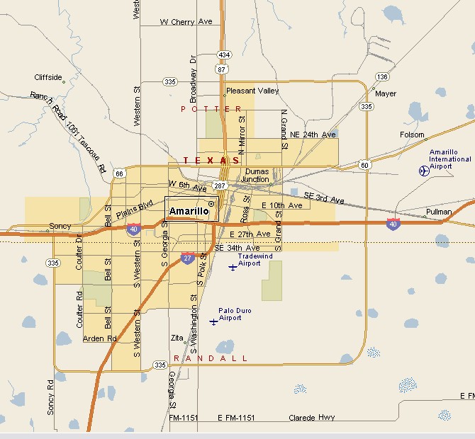
AMARILLO TEXAS MAP |
|||
|
Amarillo, Texas is the largest town in the Texas
Panhandle and the 15th biggest city in Texas. Amarillo is the Potter
County seat. But a small portion of Amarillo sticks into Randall
County. Amarillo is a temperate semi-arid climate. This means cold air can blow in from the north or northwest, with a possibility of blizzards in winter, with a hot summer with low humidity. The Amarillo annual precipitation average is 19.7 inches. |
|
||
|
|||
|
|
|||
|
|||
|
|
|||
| Visit our Eyes on Texas Blog to make a comment or share info about Amarillo | |||
|
|
|||
|
|
|||
| HOME TEXAS TOWNS PARADES | |||
|
|
|||
| BIG BEND COUNTRY | |||
| GULF COAST PINEY WOODS | |||
| PRAIRIE & LAKES HILL COUNTRY | |||
| SOUTH TEXAS PLAINS | |||
| PANHANDLE PLAINS | |||
|
|
|||
| Abilene Amarillo Archer City | |||
| Mineral Wells Sweetwater | |||
