|
|
||
|
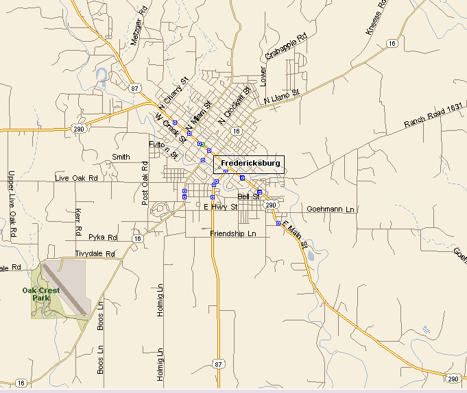
FREDERICKSBURG MAP |
||
|
|
||
|
Fredericksburg, Texas is in Gillespie County, with a
population, at last count, of 11,035. The early German settlers in Fredericksburg at first refused to learn English. Eventually their dialect became known as Texas German. Fredericksburg was a hotbed of pro-Union activity during the Civil War, which alienated much of Fredericksburg from neighboring area who strongly supported the Confederacy. |
||
|
||
|
Fredericksburg is about 70 miles west of Austin and about 60 miles north of San Antonio. U.S. Highways 290 and 87 are the main highway routes into Fredericksburg, along with Texas State Highway 16. In addition to being a major tourist attraction, Fredericksburg is also a center of diversified ranching and farming activity. |
||
|
|
||
|
||
|
|
||
|
Visit
our Eyes on Texas Blog to make a comment or share info about Fredericksburg |
||
|
|
