|
|
|||
|
AUSTIN TEXAS MAP |
|||
|
Austin is the 4th largest city in Texas, population-wise, and
the 15th largest in the United States. At last count the population of Austin
was 786,382. The Austin-Round Rock Metropolitan Area has a population of
1,769,952, which places it as the 35th largest Metropolitan Area in the United
States. Austin has a humid, subtropical climate with hot summers and mild winters, with an average of 33.6 inches of rain annually. Severe thunderstorms can occur in Austin, particularly in spring, but tornadoes seldom occur. |
|
||
| Austin is proud of its reputation for being weird and eccentric. Austin is the only major city in Texas which has no ordinance regarding women being topless in public. "Keeping Austin Weird" has become the town motto. | |||
|
|||
|
|
|||
|
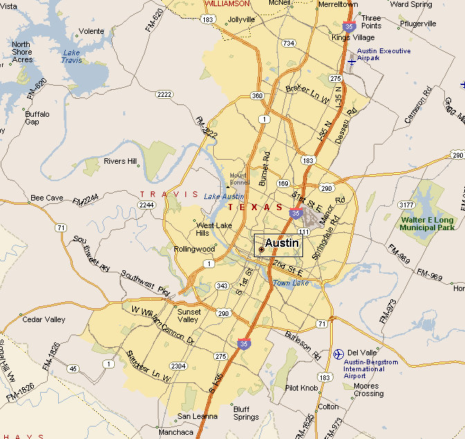
Austin is served by 2 major north/south highways. Interstate 35
and the Mopac Expressway, also known as Loop 1. U.S. Highway 183 runs through
Austin from the northwest to southwest. State Highway 71 runs east to west in
the south end of Austin. U.S. Highway 290 comes in to Austin from the west, then
merges with I-35 and then becomes Highway 71. Austin has a bus system known as Capital Metro. Capital MetroRail is a 32 mile long commuter rail system. |
|||
|
|||
|
|
|||
|
Visit
our Eyes on Texas Blog to make a comment or share info about Austin |
|||
|
|
|||
|
|
|||
| HOME TEXAS TOWNS PARADES | |||
|
|
|||
| BIG BEND COUNTRY | |||
| GULF COAST PINEY WOODS | |||
| PRAIRIE & LAKES HILL COUNTRY | |||
| SOUTH TEXAS PLAINS | |||
| PANHANDLE PLAINS | |||
|
|
|||
| Highland Lakes System Boerne | |||
| Luckenbach Fredericksburg | |||
| New Braunfels San Marcos Wimberley | |||
