|
|
|||
|
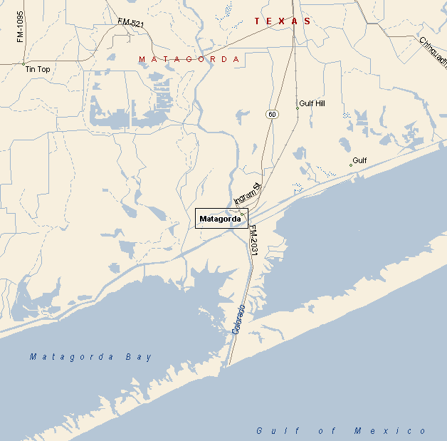
MATAGORDA AREA MAP |
|||
|
Matagorda is near where the mouth of the Colorado River and
Matagorda and East Matagorda Bay. .Matagorda is seven miles, by road, from the Gulf of Mexico. |
|
||
|
|
|||
|
|
|||
|
|||
|
|
|||
|
Visit
our Eyes on Texas Blog to make a comment or share info about Matagorda |
|||
|
|
|||
|
|
| HOME TEXAS TOWNS PARADES |
|
|
| BIG BEND COUNTRY |
| GULF COAST PINEY WOODS |
| PRAIRIE & LAKES HILL COUNTRY |
| SOUTH TEXAS PLAINS |
| PANHANDLE PLAINS |
|
|
| Deer Park Galveston Harlingen |
| Houston Kemah Kingsville Matagorda |
