|
|
|||
|
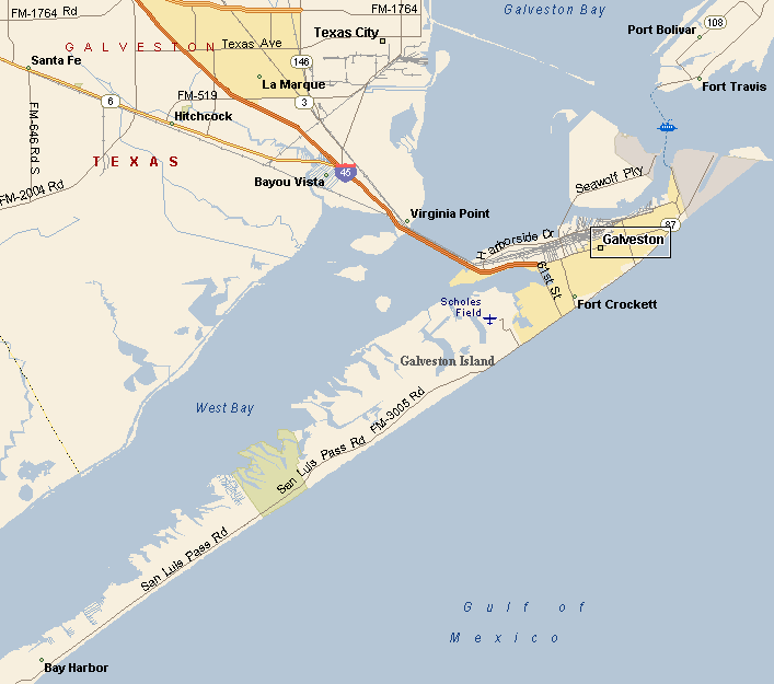
GALVESTON AREA MAP |
|||
| Galveston has six historic districts. The Silk Stocking Historic District is the area between Broadway and Seawall Boulevard with a collection of historic homes dating from the Civil War to World War II. The East End Historic District, with over 400 buildings is located on both sides of Market and Broadway Streets. The Strand National Historic Landmark is made up of mostly Victorian era buildings that now are home to restaurants, galleries and antique stores. The Strand is the 5 block business district between 20th and 25th streets. The other historic districts are Denver Court Historic District, Cedar Lawn Historic District and Fort Travis Historic District. |
|
||
|
|
|||
|
The climate of Galveston is classified as humid sub-tropical. The
prevailing winds blow from the south, bringing moisture from the Gulf
of Mexico and the southwest, bringing warm air from the Mexican
desert. |
|||
|
|
|||
|
|||
|
|
|||
| Visit our Eyes on Texas Blog to make a comment or share info about Galveston | |||
|
|
|||
|
|
|||
| HOME TEXAS TOWNS PARADES | |||
|
|
|||
| BIG BEND COUNTRY | |||
| GULF COAST PINEY WOODS | |||
| PRAIRIE & LAKES HILL COUNTRY | |||
| SOUTH TEXAS PLAINS | |||
| PANHANDLE PLAINS | |||
|
|
|||
| Deer Park Galveston Harlingen | |||
| Houston Kemah Kingsville Matagorda | |||