|
|
|||
|
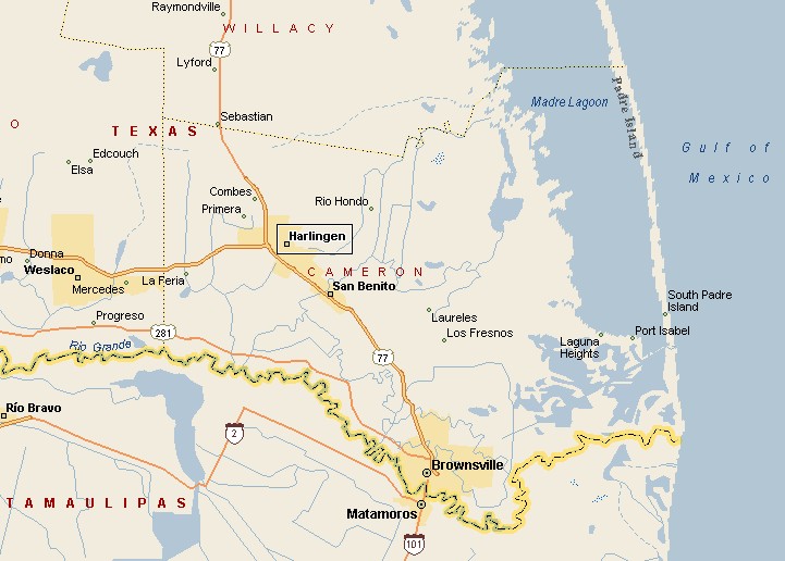
BROWNSVILLE AREA MAP |
|||
|
Brownsville is the county seat of Cameron County. Brownsville is the 15th largest city in Texas. The town's population was 139,722 in the 2000 census. Brownsville is the southernmost town in Texas. Brownsville has a sub-tropical climate, characterized by hot, humid summers and mild winters. The cooling waters of the Gulf of Mexico keep Brownsville cooler than towns further inland, like Laredo. Palm trees are more prevalent in Brownsville than any other Texas town. Brownsville is one of the Birding Capitals of the World. |
|
||
|
|
|||
|
|
|||
|
|||
|
|
|||
|
Visit
our Eyes on Texas Blog to make a comment or share info about Brownsville |
|||
|
|
|||
|
|
|||
| HOME TEXAS TOWNS PARADES | |||
|
|
|||
| BIG BEND COUNTRY | |||
| GULF COAST PINEY WOODS | |||
| PRAIRIE & LAKES HILL COUNTRY | |||
| SOUTH TEXAS PLAINS | |||
| PANHANDLE PLAINS | |||
|
|
|||
| Deer Park Galveston Harlingen | |||
| Houston Kemah Kingsville Matagorda | |||