|
|
|||
|
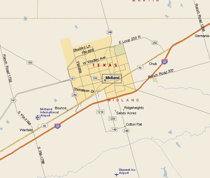
MIDLAND TEXAS MAP |
|||
|
Midland, Texas is the county seat of Midland County on the Southern Plains of West Texas. Midland was founded in 1881. as the midway point between Fort Worth and El Paso by the Texas and Pacific Railroad. Midland is on the southern edge of the Llano Estacado, near the center of the Permian Basin oil fields. Midland has a semi-arid climate with hot summers and mild winters. Midland can get hit with a cold wave in winter. On average 14.8 inches of rain falls on Midland per year. |
|
||
|
|
|||
| Midland International Airport serves a large area of West Texas and Southeast New Mexico. Midland is considered the airport gateway to Big Bend National Park and the Big Bend Region. Midland has a bus transit system known as E-Z Rider. | |||
|
|
|||
|
|||
|
|
|||
|
Visit
our Eyes on Texas Blog to make a comment or share info about Midland |
|||
|
|
|||
|
|
|||
| HOME TEXAS TOWNS PARADES | |||
|
|
|||
| BIG BEND COUNTRY | |||
| GULF COAST PINEY WOODS | |||
| PRAIRIE & LAKES HILL COUNTRY | |||
| SOUTH TEXAS PLAINS | |||
| PANHANDLE PLAINS | |||
|
|
|||
| Del Rio El Paso Fort Davis | |||
| Fort Stockton Langtry Marfa | |||
| Midland Monahans Odessa Pecos | |||
| Sanderson Terlingua Wink | |||
| Guadalupe Mountains National Park | |||